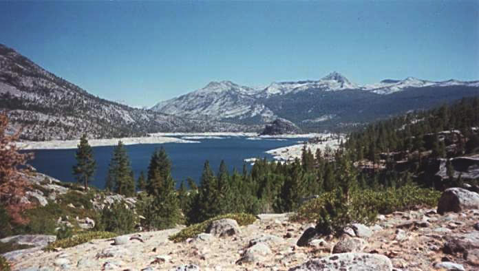
This is Florence Lake, from the start of the trail.
In early September 1996, my friends Kinshuk, Peter, Houman, and I decided to go on an overnight hiking trip in Sierra National Forest. We drove to the starting point, the lower end of Florence Lake (elevation 7300'). From there, we hiked about 5 miles over the lakeside ridges to the other end of the lake. We spent the night there, and then hiked back in the morning.
This is Florence Lake, from the start of the trail.
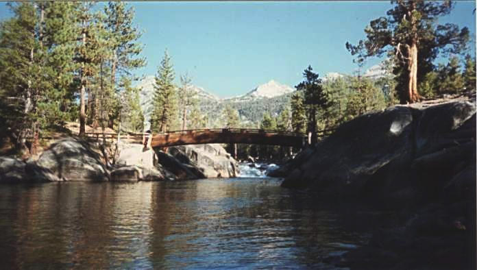
at the far end of the lake, we reached the south fork of the
San Joaquin River. This footbridge provides access to the other side
of the river.
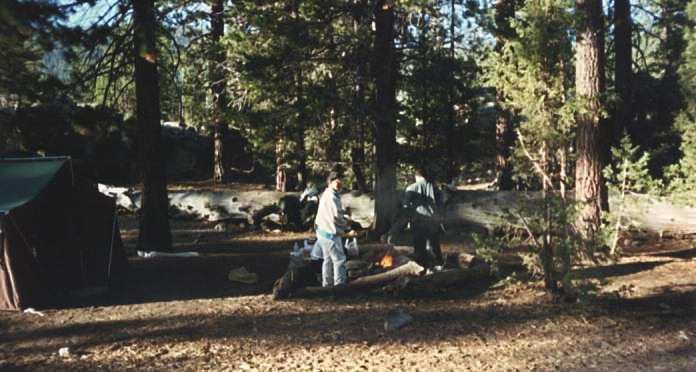
We found a nice campsite about 150 yards from the river.
Here, Peter and Houman get the campfire started.
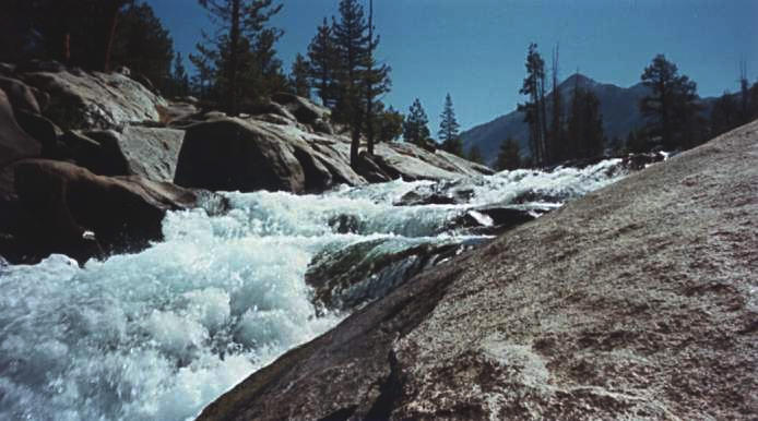
This is a closer look at the rapids above the footbridge. The water
flowed swiftly over the steep granite riverbed.
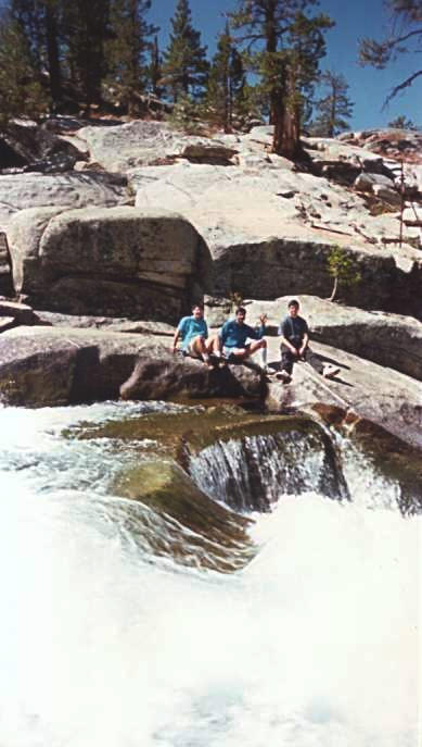
The next morning, after breakfast, Peter, Kinshuk, and Houman went
down to the river to take a closer look.
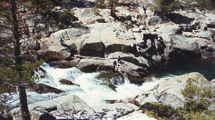
This is a shot from farther away, to get an aerial-type view of the
river.
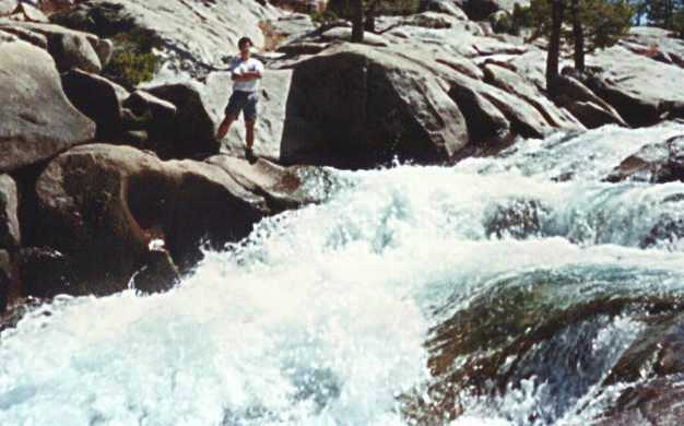
This is me, on the other side of the river.
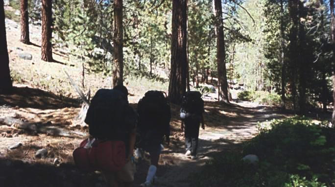
It was time to start heading back to the cars. The weather was
warmer today, and we relished the infrequent patches of shade.
Here Houman leads (right), and Kinshuk and Peter follow.
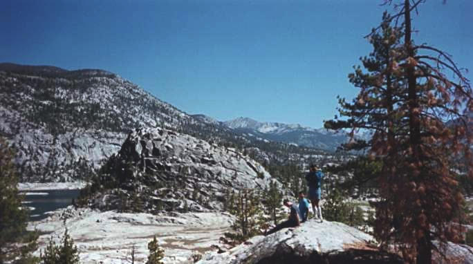
On the way back, we took a side diversion (without our backpacks)
to get a better look at Florence Rock (in the background) and the
river below. Here Houman and Peter sit and enjoy the view, while
Kinshuk takes a picture of me taking a picture of them.
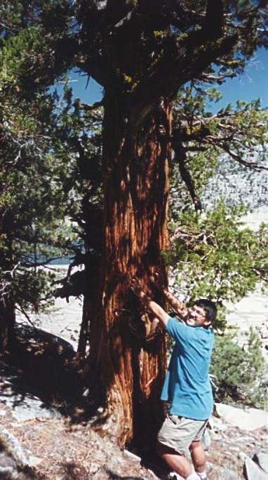
This tree's bark had been shredded, probably by a bear who wanted
to sharpen his claws. Peter demonstrates that
he can only reach about half as high as the bear claw marks.
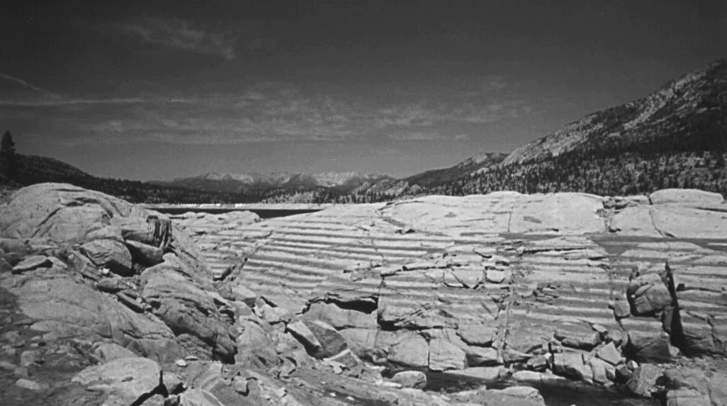
Ok, so I'm not exactly Ansel Adams, but I think this looks decent.
The horizontal bands on the rock are actually mud stripes left by the
receding waters of Florence Lake.
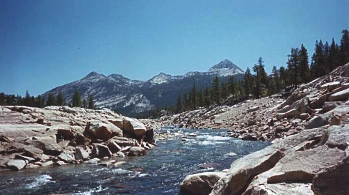
This is a view upstream along the south San Joaquin River.
We made it back to the cars, and began the long drive back.
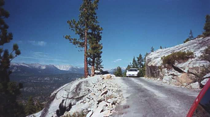
For about 15 miles, the road is a bumpy single lane along the
steep granite mountainsides. Here is Houman's Integra,
better known as "The Benz".
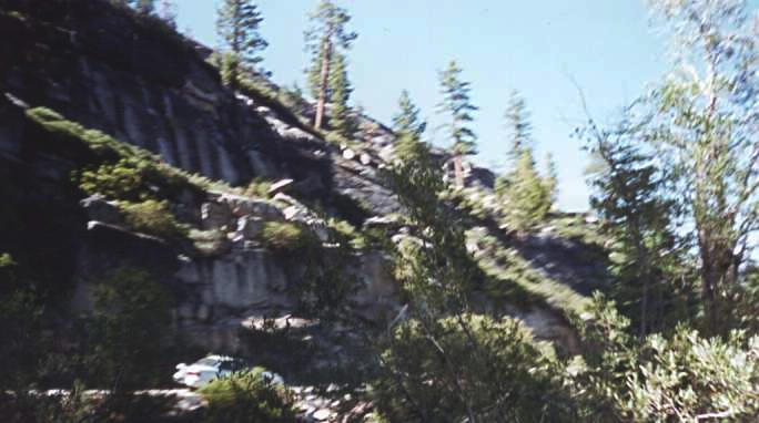
Here's another look at the road, winding along the steep mountainside.
Houman's car is in the lower left of the picture, partially obscured
by the bushes.
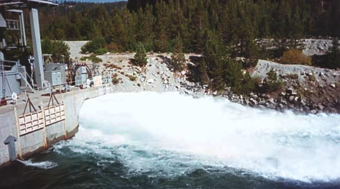
Along the way, we passed the outlet of the Ward hydroelectric tunnel.
According to the signs, this tunnel can generate 10 megawatts of
power. The water came shooting extremely fast out of the tunnel,
as if it was a horizontal waterfall.
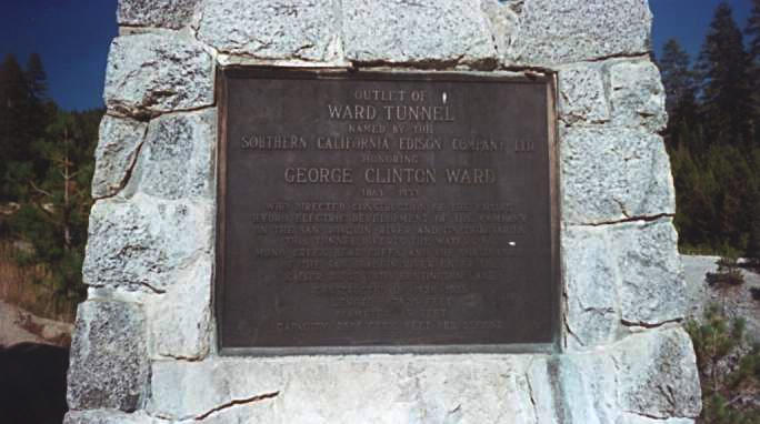
This is the commemorative sign at the hydroelectric power plant.
It reads: