 ++
++ 
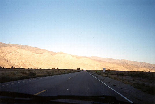
As we turned east onto 136 at Lone Pine in the late afternoon, we raced the shadow of Mt. Whitney across the valley.
 ++
++ 
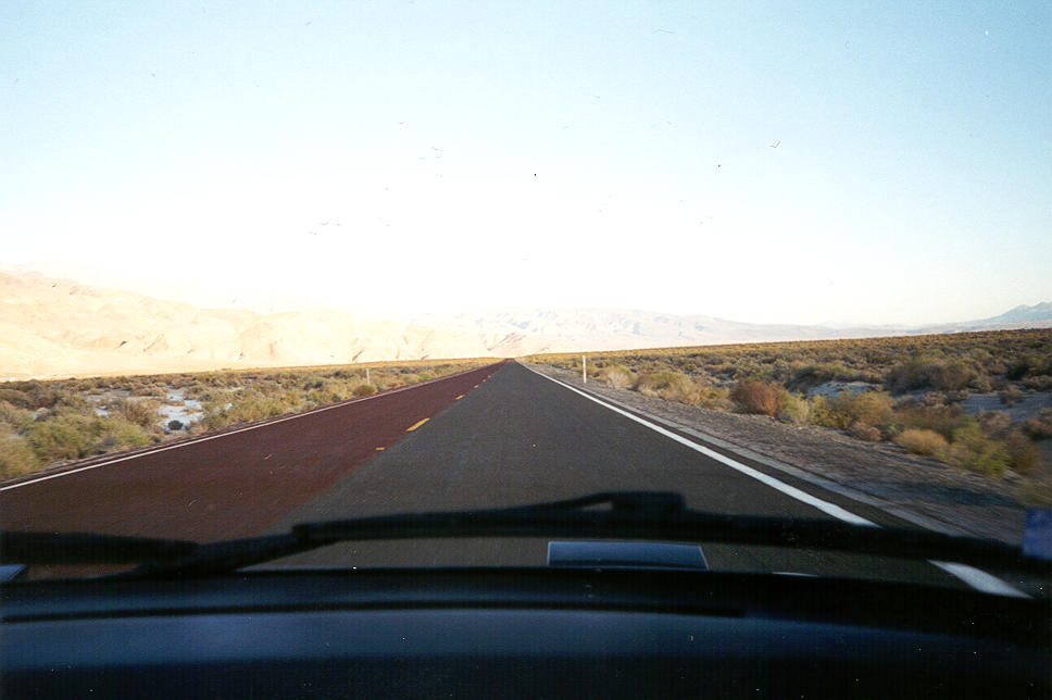
For a while, 136 was a nice duo-tone road, with red asphalt on one side, and black asphalt on the other.
 ++
++ 
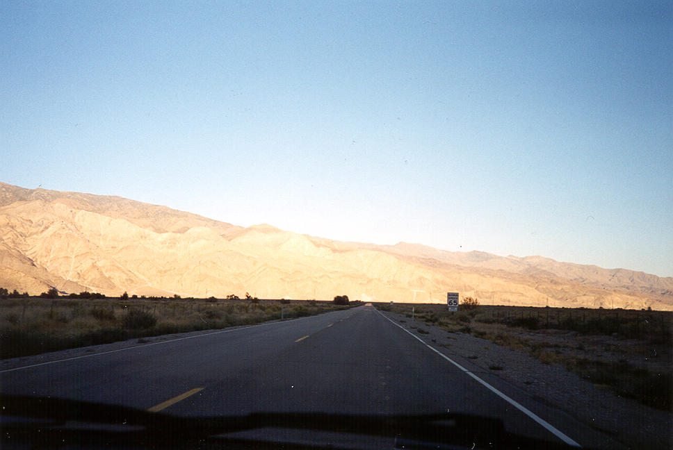
Continuing east toward Death Valley, somewhere in the vicinity of Darwin, the setting sun cast the desert hills in a deep red glow.
 ++
++ 
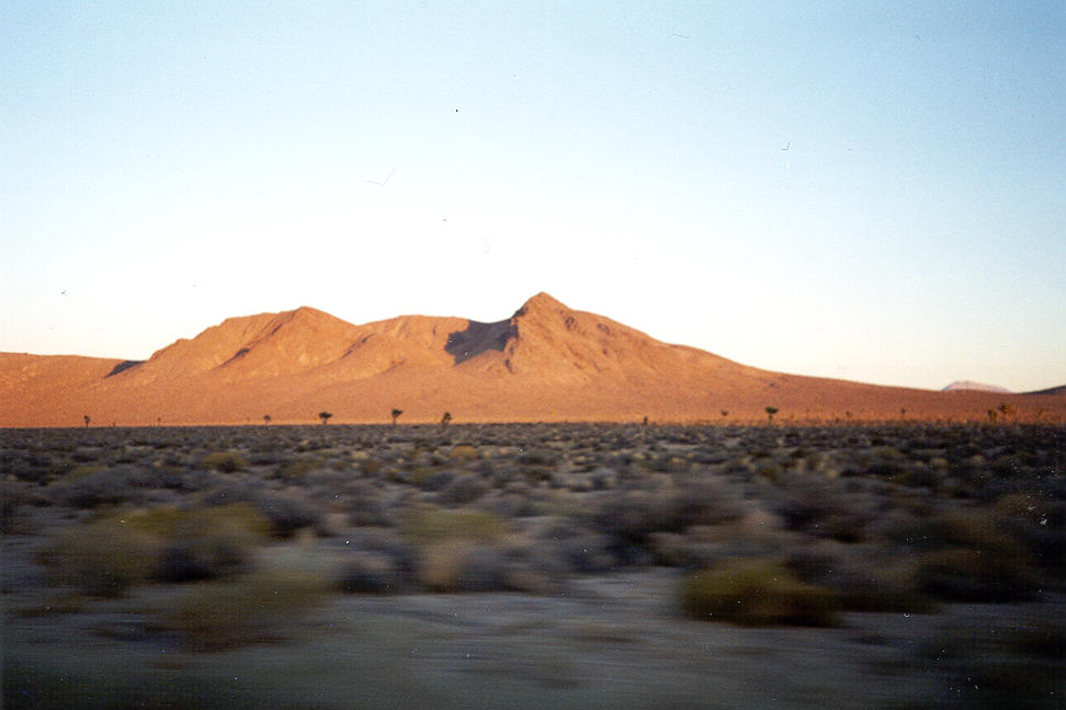
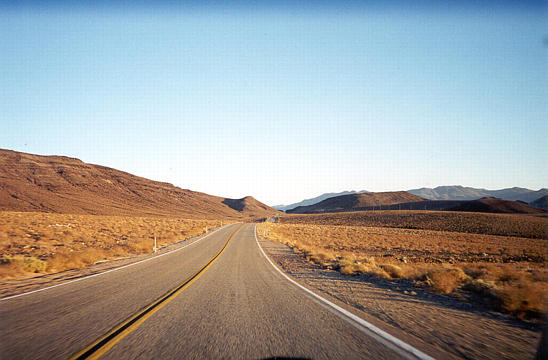
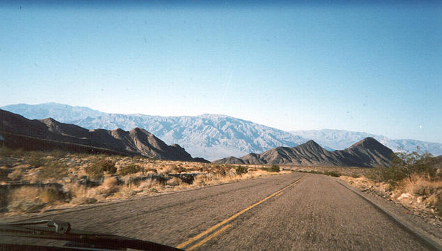
Highway 190 rolls on over the hills.
 ++
++ 
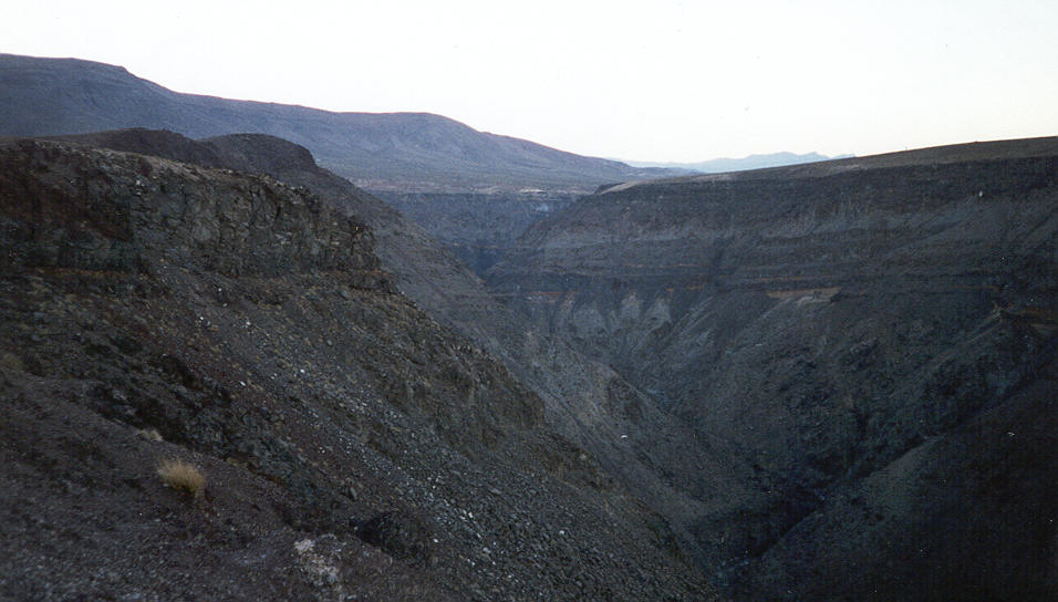
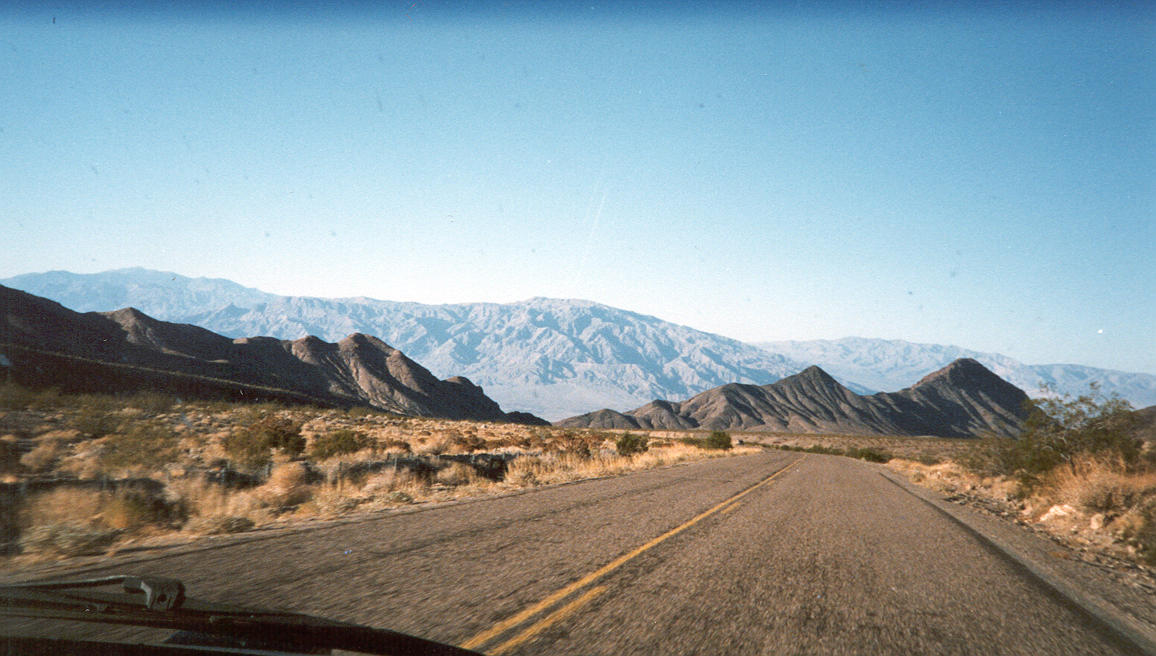
The steep valley walls somewhere above Panamint Springs, on the western edge of Death Valley. The valley got its name because early pioneers had to abandon their wagons to climb the steep trails out of the valley.
 ++
++ 
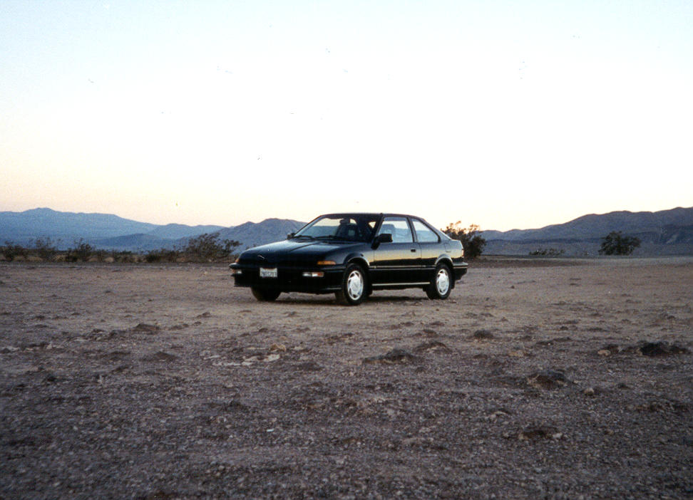
My car, in the fading dusk.
 ++
++ 
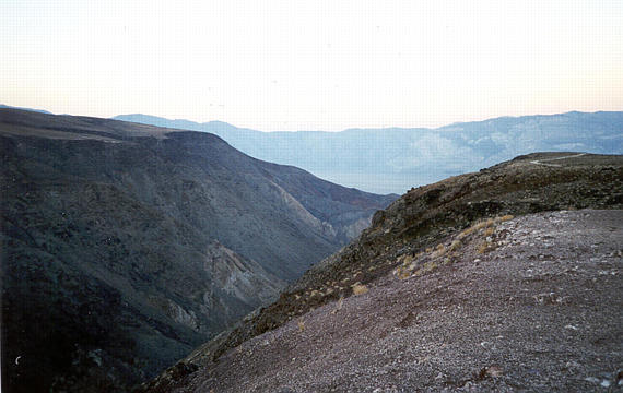
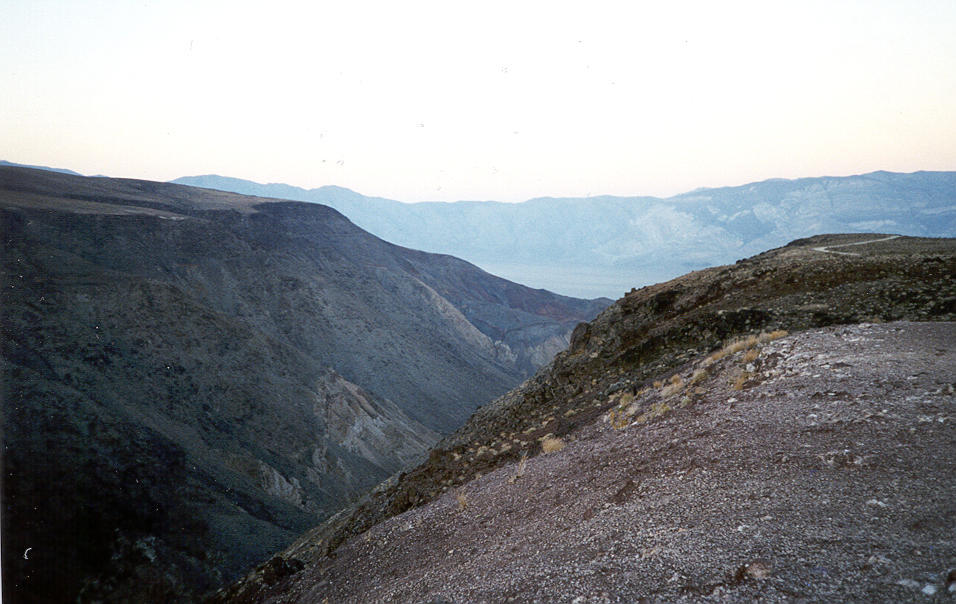
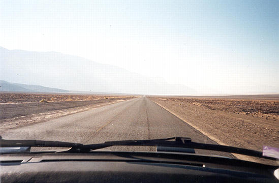
Looking down into Death Valley, from the west.
 ++
++ 
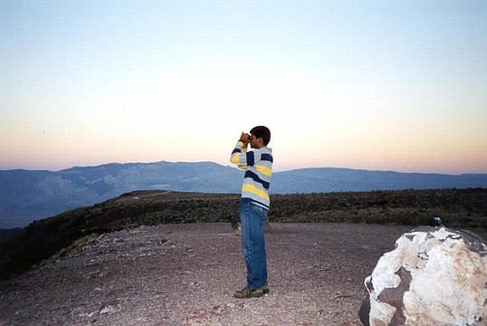
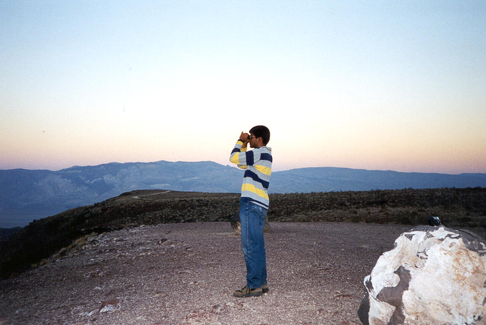
Kinshuk pulls out his binoculars to see what he can see before the sun sets.
 ++
++ 
The next morning, re-entering Death Valley from the east side (Nevada), descending Sunrise Pass.
 ++
++ 
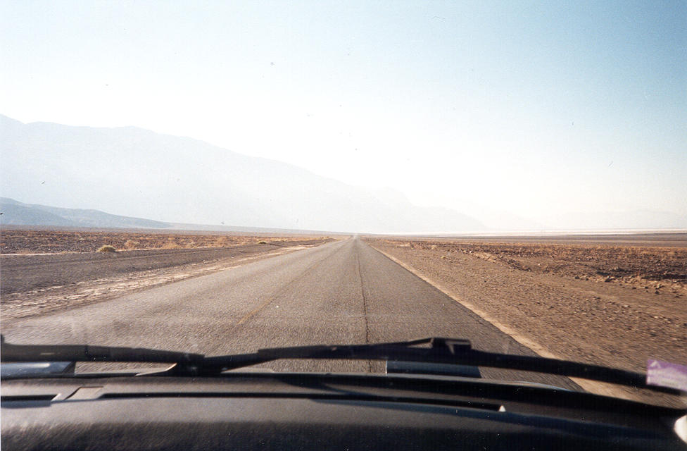
The next morning, driving 190 across the valley floor south to Badwater.
 ++
++ 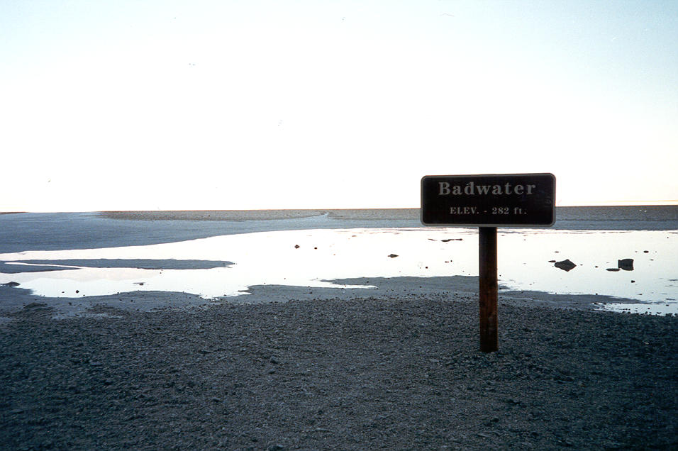
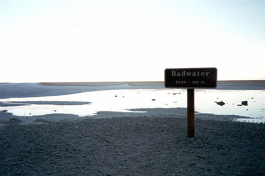
The marker sign at Badwater, the lowest point in the western hemisphere. "Badwater, Elevation -282".
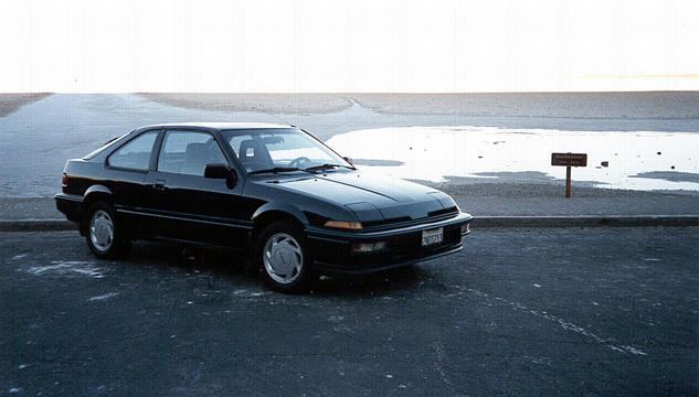 ++
++ 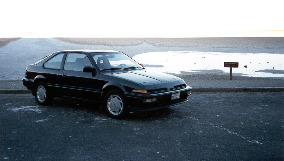
My car, at Badwater. Less than 24 hours before, it had crossed Tioga Pass, elevation 9945.
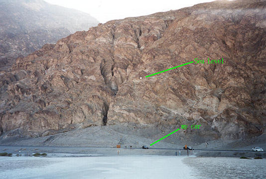 ++
++ 
A sign on the hillside above marks sea level.
 ++
++ 
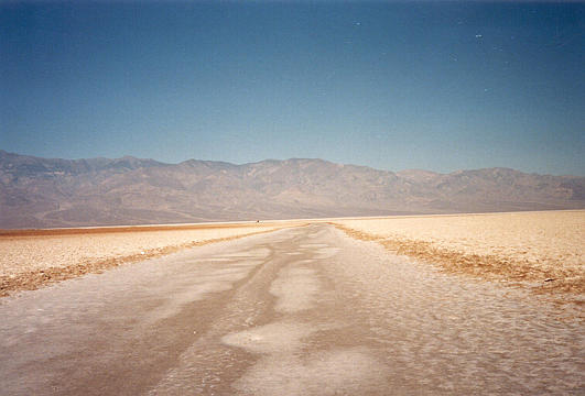
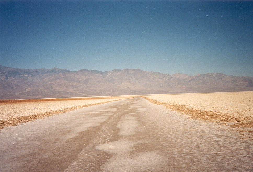
The salt flats at Badwater.
 ++
++ 
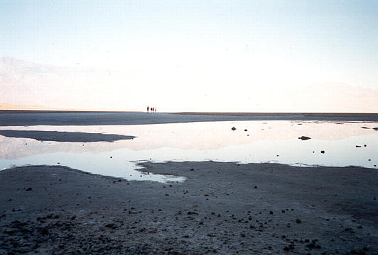
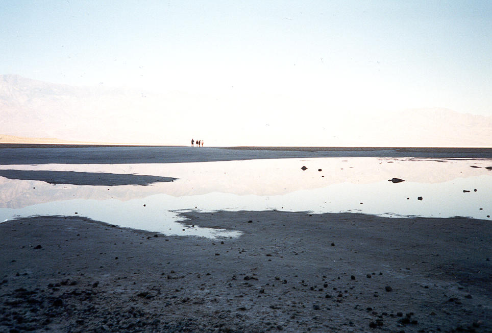
People walking out on the salt flats, still in the shadow of the hillside, appear hazy in front of the shimmering desert.
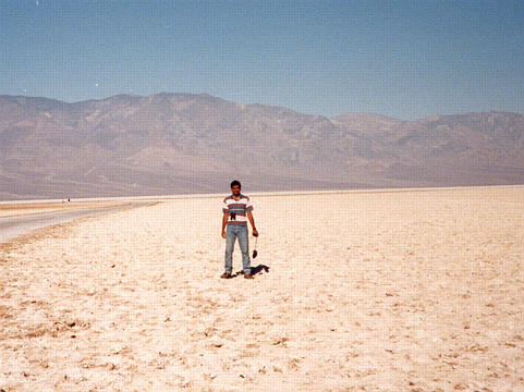 ++
++ 
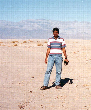
Kinshuk decides to walk beyond the shade, into the desert sun. I stayed behind, and took pictures. :-)
 ++
++ 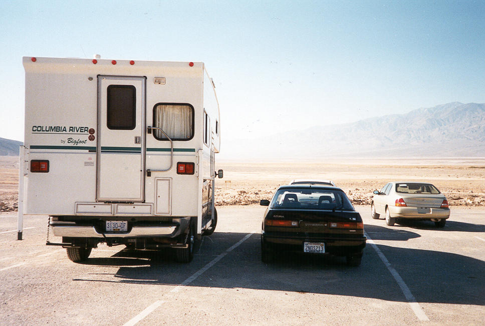
A good parking spot -- in the shade of a camper! Even at 9am, things started heating up...
 ++
++ 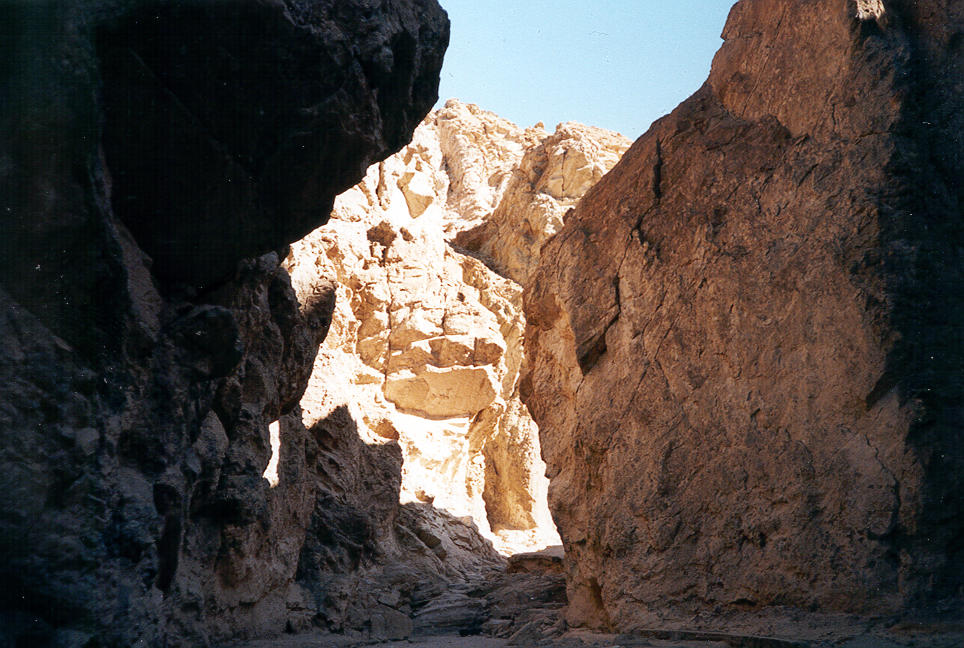
Light and shadow mix in a steep-walled gully carved by flash floods.
 ++
++ 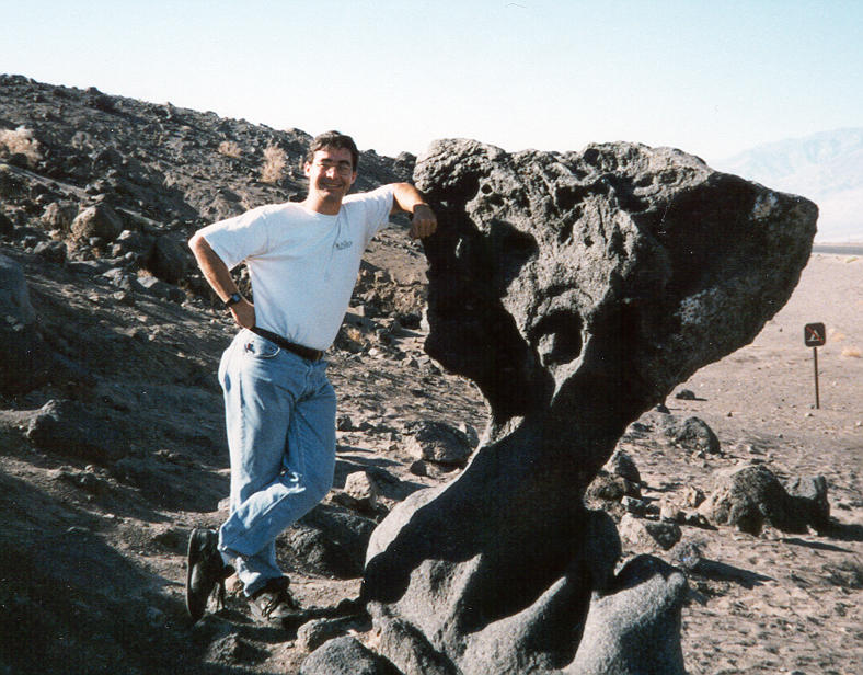
Lucas next to mushroom rock, a funny-shaped piece of volcanic rock.
 ++
++ 
Kinshuk near Stovepipe Wells. This was a well that was protected by a tall length of stovepipe, so that it could still be found when buried by the shifting sands.
 ++
++ 
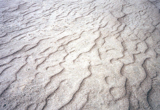
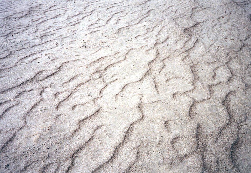
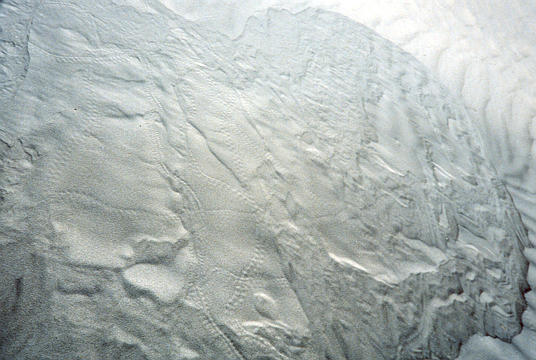
Wind-carved patterns in the sand near stovepipe wells.
 ++
++ 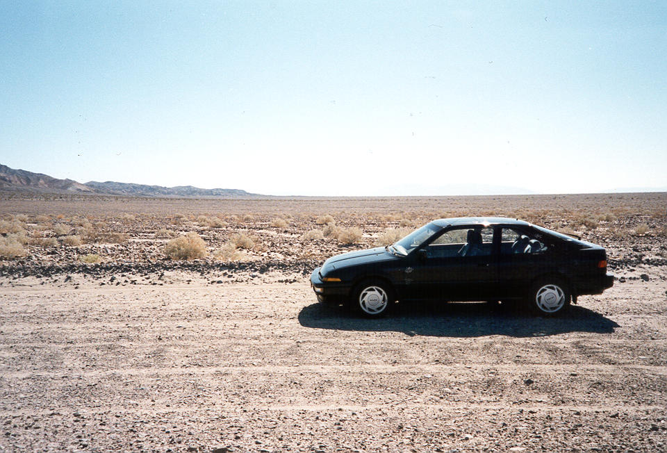
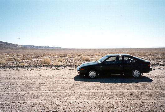
My car, not really appreciating the rough roads we travelled to get to the sand. Death Valley is one of those few places where it would be cool to have a nice sport-utility vehicle...
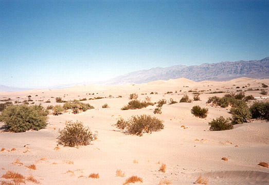 ++
++ 
The sand dunes, just off 190 on the western side of the valley.
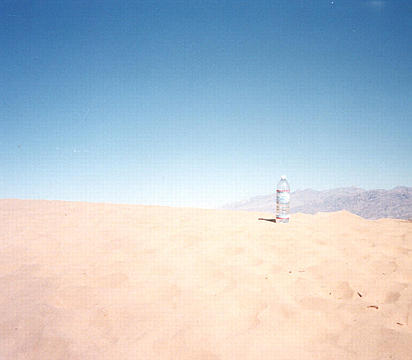 ++
++ 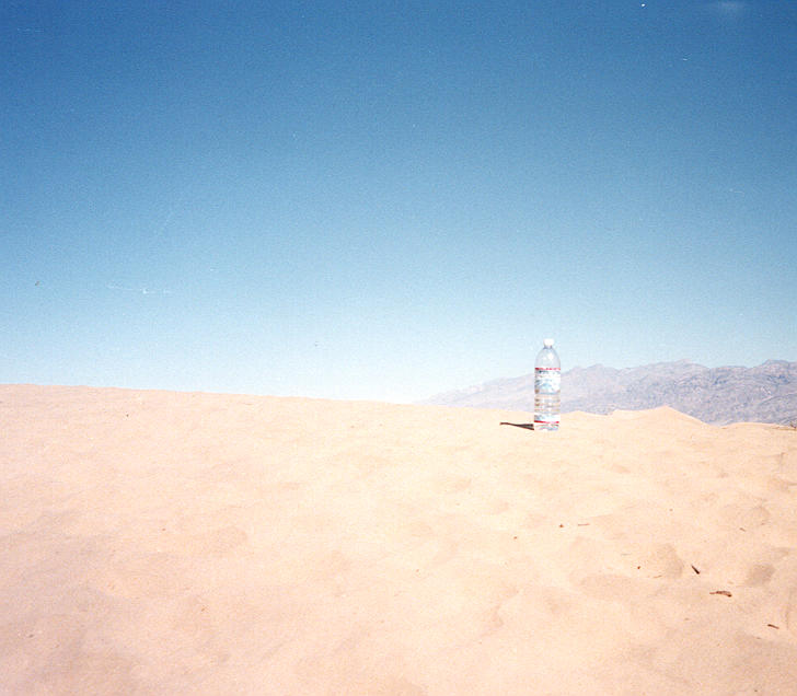
My water bottle, sitting on the hot sand dune.
 ++
++ 
Funny lizard tracks in the sand dunes.
 ++
++ 
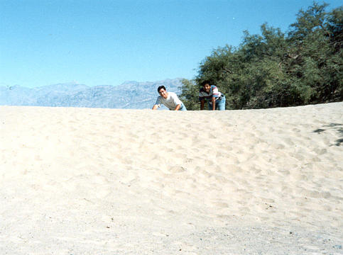
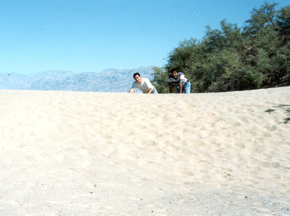
Me and Kinshuk ham it up, crawling across the sand dunes... "Water...." :-)
 ++
++ 
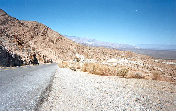
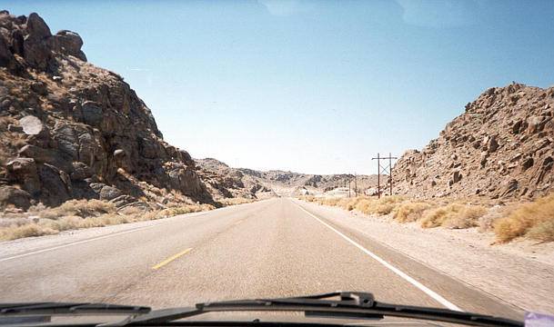
Back on the road again, we look back at the road between 190 and Trona, heading southwest towards Mojave.
 ++
++ 
The road near the Trona Pinnacles, which was once part of the same mountain as Pinnacles National Monument, except that the San Andreas Fault moved the other half of the mountain 190 miles north...