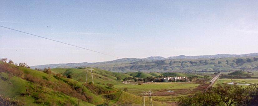
The green, rolling hills south of San Jose. This picture was taken from Bailey Road, looking northeast. In the distance you can see Mt. Hamilton.
The green, rolling hills south of San Jose. This picture was taken from
Bailey Road, looking northeast. In the distance you can see Mt.
Hamilton.
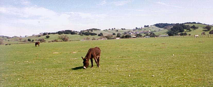
Gilroy is surrounded by farmland. This donkey (or is it a mule?) was
grazing a field west of Gilroy, along Burchell road.
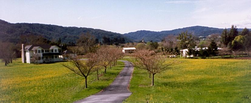
Houses sit scattered among a field of wild flowers, with Mt. Madonna rising
in the background. This picture was also taken along Burchell road, west
of Gilroy.
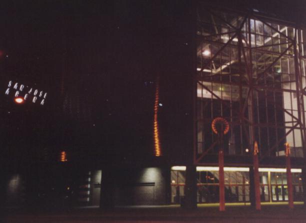
The San Jose Arena, before sunrise.
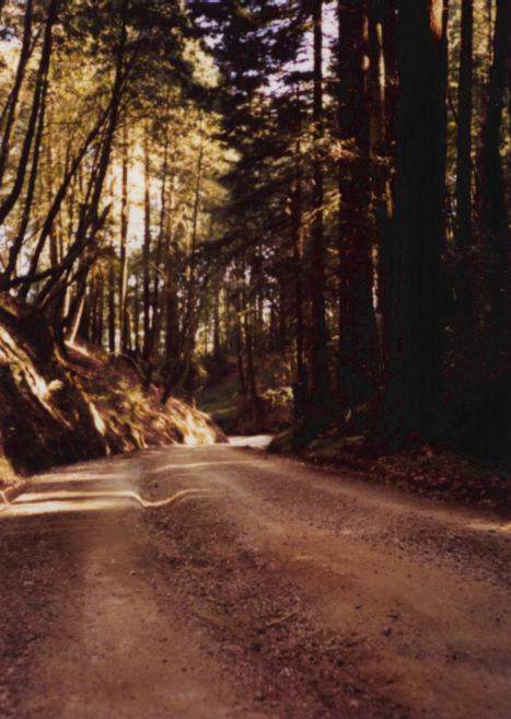
Mount Madonna Road, on the east side of Mt. Madonna.
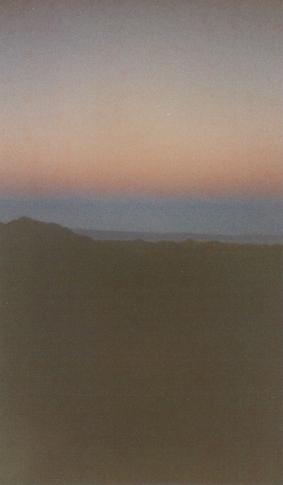
Looking west at sunrise from the side of Mt. Hamilton, you can see
the shadow of the earth form a line in the morning mist. It even
has a reddish hue, the same color that the moon turns during a lunar
eclipse.
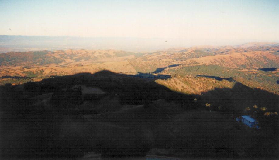
The view from the top of Mount Hamilton, looking west towards San Jose.
This was still fairly early in the morning, so you can see Mt. Hamilton's
shadow on the hills below.
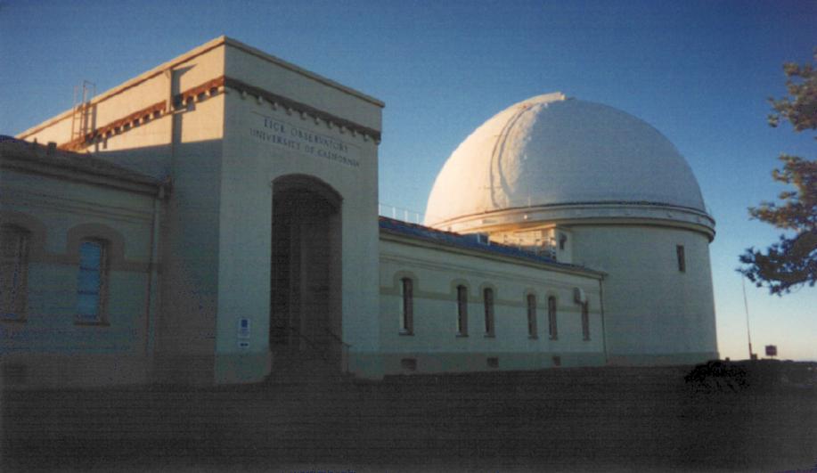
The front of the Lick (Telescope) Observatory, on top of Mount
Hamilton. The words over the entrance say, "Lick Observatory,
University of California".
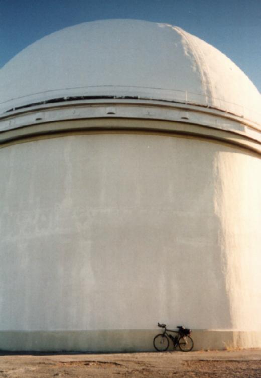
My bike and the dome for the telescope at Lick Observatory.
When climbing Mt. Hamilton, you see the dome and think you're
close to the top. When you finally reach the top, 4 miles later,
you realize just how big the dome is.
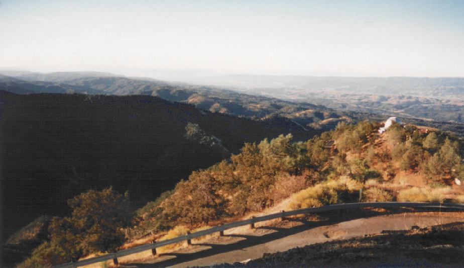
The view from the top of Mount Hamilton, looking northeast, towards San
Antonio Valley. You can see the dome of one of the smaller telescopes
in the foreground.
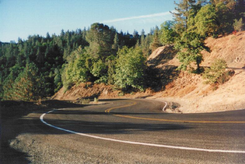
This is upper San Antonio Valley Road, on the backside of Mount
Hamilton. It is a fun, challenging descent, with light traffic,
sharp turns, and occasional patches of loose gravel on the
pavement.
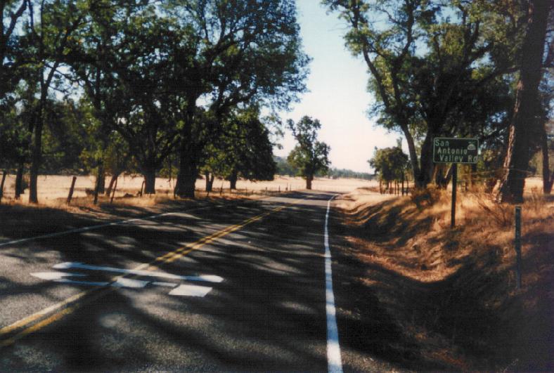
Beyond Mt. Hamilton, San Antonio Valley Road is pretty uninhabited.
You see lots of cows and ground squirrels, but only occasionally see
a ranchhouse tucked away from the road.
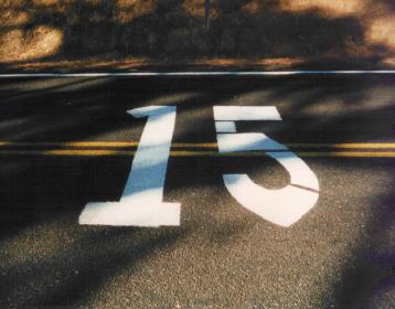
Every mile marker is painted in big letters on the road, presumably
so that the search planes can report your location to rescuers when
you don't return from your bike ride. :-)
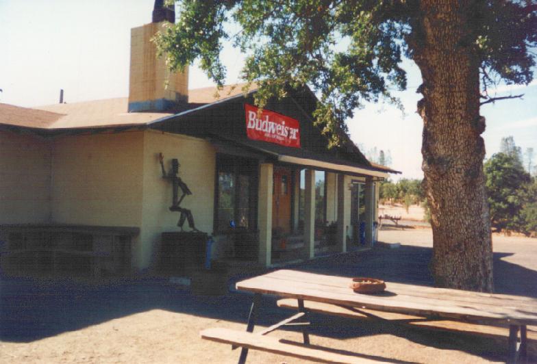
This is the junction cafe, at the intersection of San Antonio Valley
and Del Puerto Canyon Road. This is pretty much the only civilized
stop on the 50-mile stretch from the top of Mt. Hamilton to Livermore.
Unfortunately, I passed by here early in the morning (before they
opened), so I can't comment on what's inside.
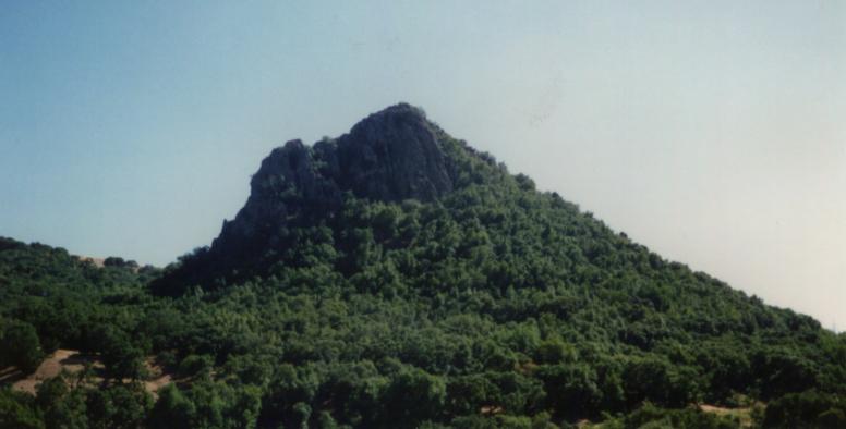
A rocky outcropping rises above 152, a few miles west of Pacheco Pass.
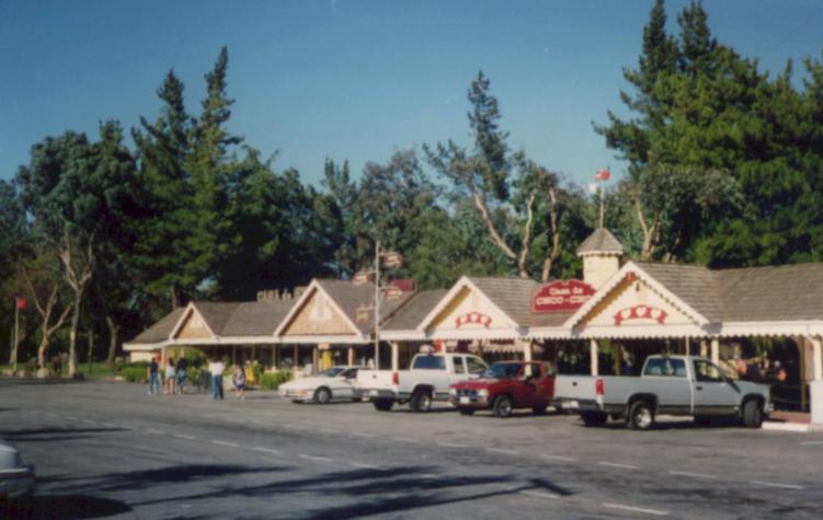
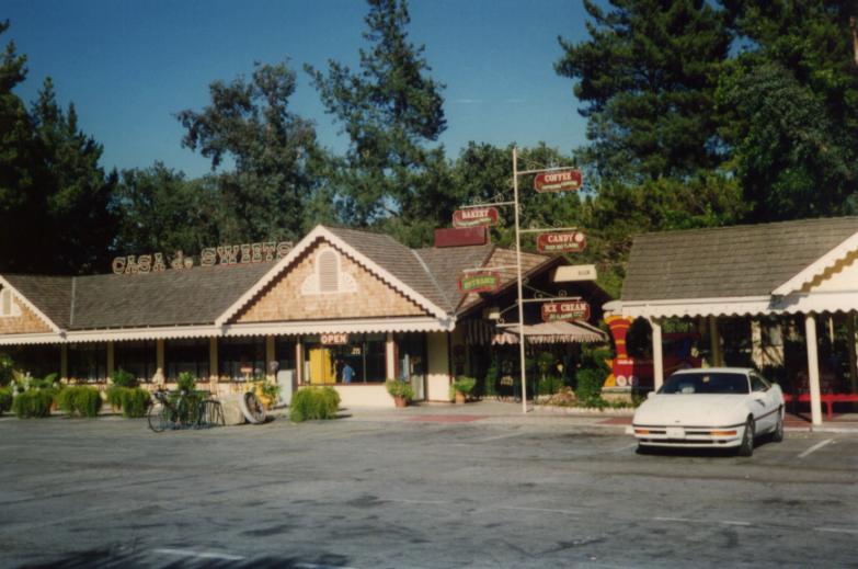
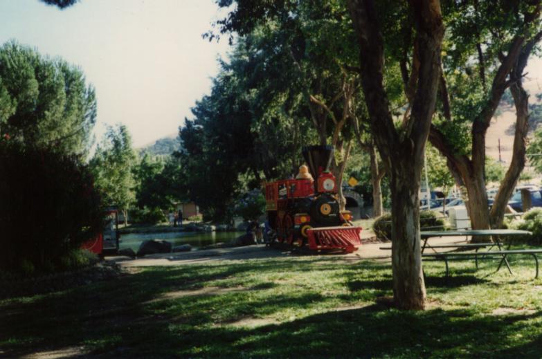
An oasis escape from the hot windy hills of Pacheco Pass, Casa de
Fruta has the feel of a tiny amusement park. In addition to the
grocery store, cafe, wine store, candy store, gift shop, etc.,
it has cool ponds, plenty of shade, and a miniature train that
you can buy tickets to ride around the perimeter of the park.
These pictures show only some of the buildings. The pictured train
is full-sized and stationary; the moving train is only about 1/3 the
size.
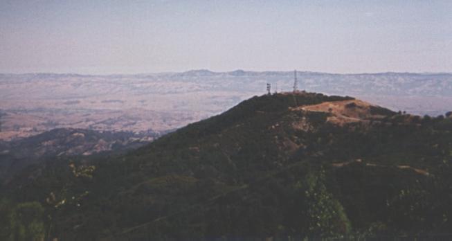
The view northeast from 600 feet below the summit of Loma Prieta,
towards the hills south of San Jose. Mount Hamilton rises on the
horizon.
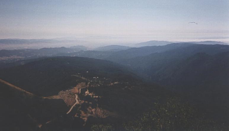
The view southeast from 600 feet below the summit of Loma Prieta,
towards Uvas Canyon and the southeastern Santa Cruz Mountains.