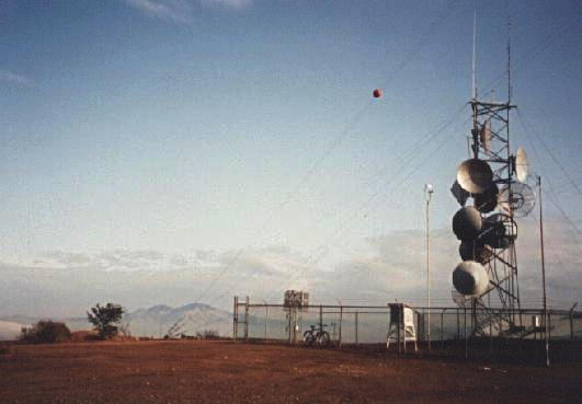
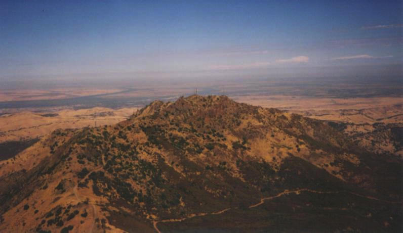
Here is my bike, atop Vollmer Peak. Although it's only 2010 feet high, it is one of the highest points in the Berkeley hills.
Here is my bike, atop Vollmer Peak. Although it's only 2010 feet
high, it is one of the highest points in the Berkeley hills.
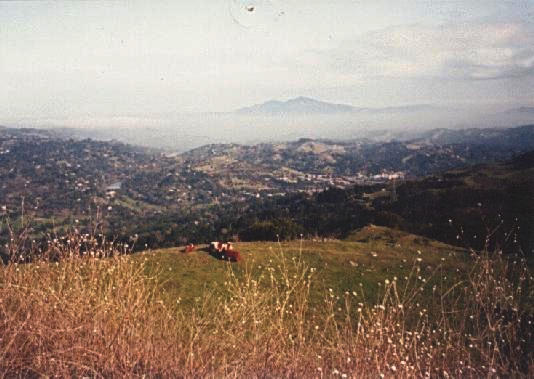
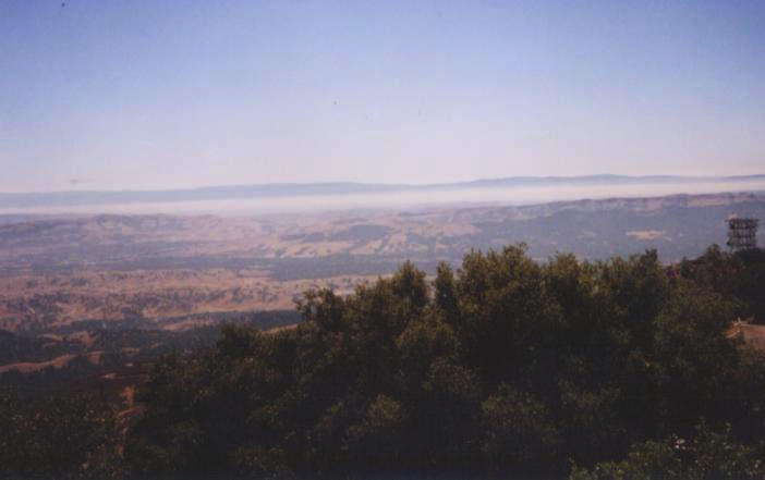
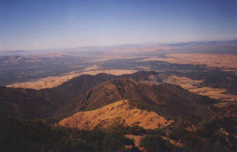
This is a view from near the top of Vollmer Peak, looking East. You
can see Mount Diablo rising above the fog in the distance.
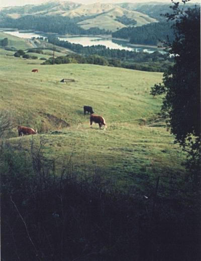
This is a view from Tilden Park (behind Berkeley), looking down to San
Pablo Reservoir.
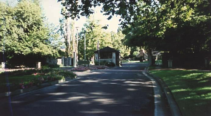
The city of Blackhawk is known for its exclusive neighborhoods.
Almost every housing development has its own security guard kiosk,
like this one, to make sure that undesirables (such as bicycle tourists
with cameras :-) don't trespass on their private roads.
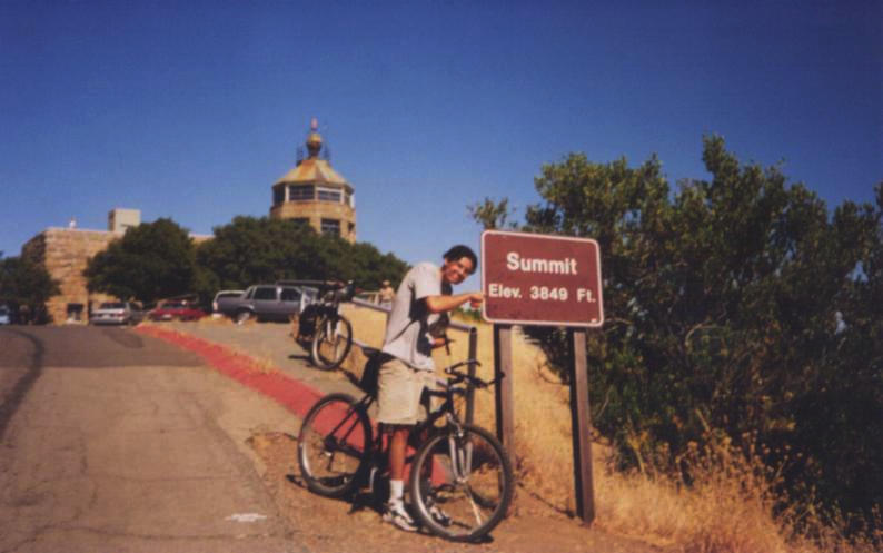
Here is a picture of my sister's boyfriend, Tom, on top of Mt.
Diablo. We had just finished climbing nearly 4000 feet to the summit.
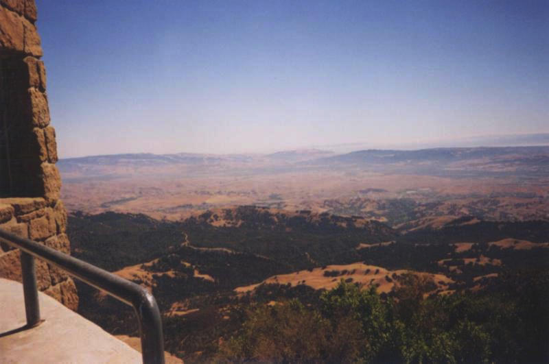
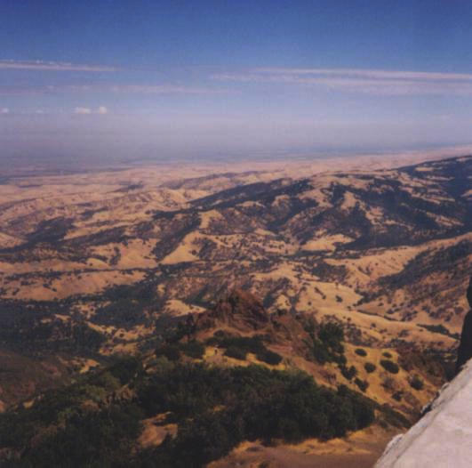
Here is an almost-continuous panoramic picture of the view from the
top of Mt. Diablo. The pictures were taken pointing (roughly)
south, southwest, west, northwest, north, and northeast.
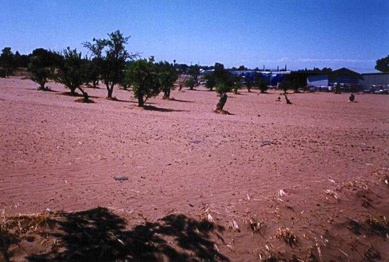
Is it just me, or does this sandy Brentwood soil seem desert-like?
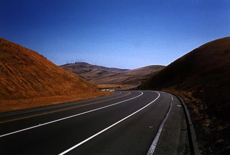
Vasco Road climbs over dry, grassy hills between Brentwood and Livermore.
The traffic is heavy, the shoulder is fine, and the winds blast across
the hills. At one point, on a nearly-flat section carved deeply into the
hill like a funnel, I was barely able to turn
over my lowest gear (32-26) because of the wind (which I estimated to
be about 40mph).
I suppose it's no coincidence that the hills are covered with power-
generating windmills...
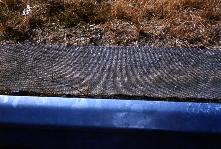
So how windy is it on vasco road? I present exhibit A, a wire mesh next
to the guardrail, presumably to prevent tumbleweed, plants, and small
animals from being blown onto the road.